-40%
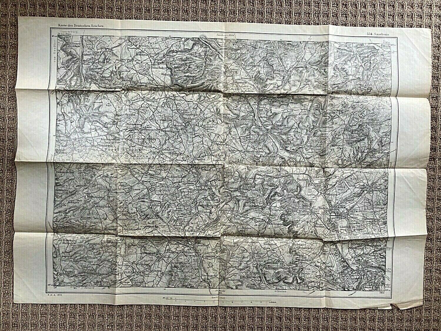
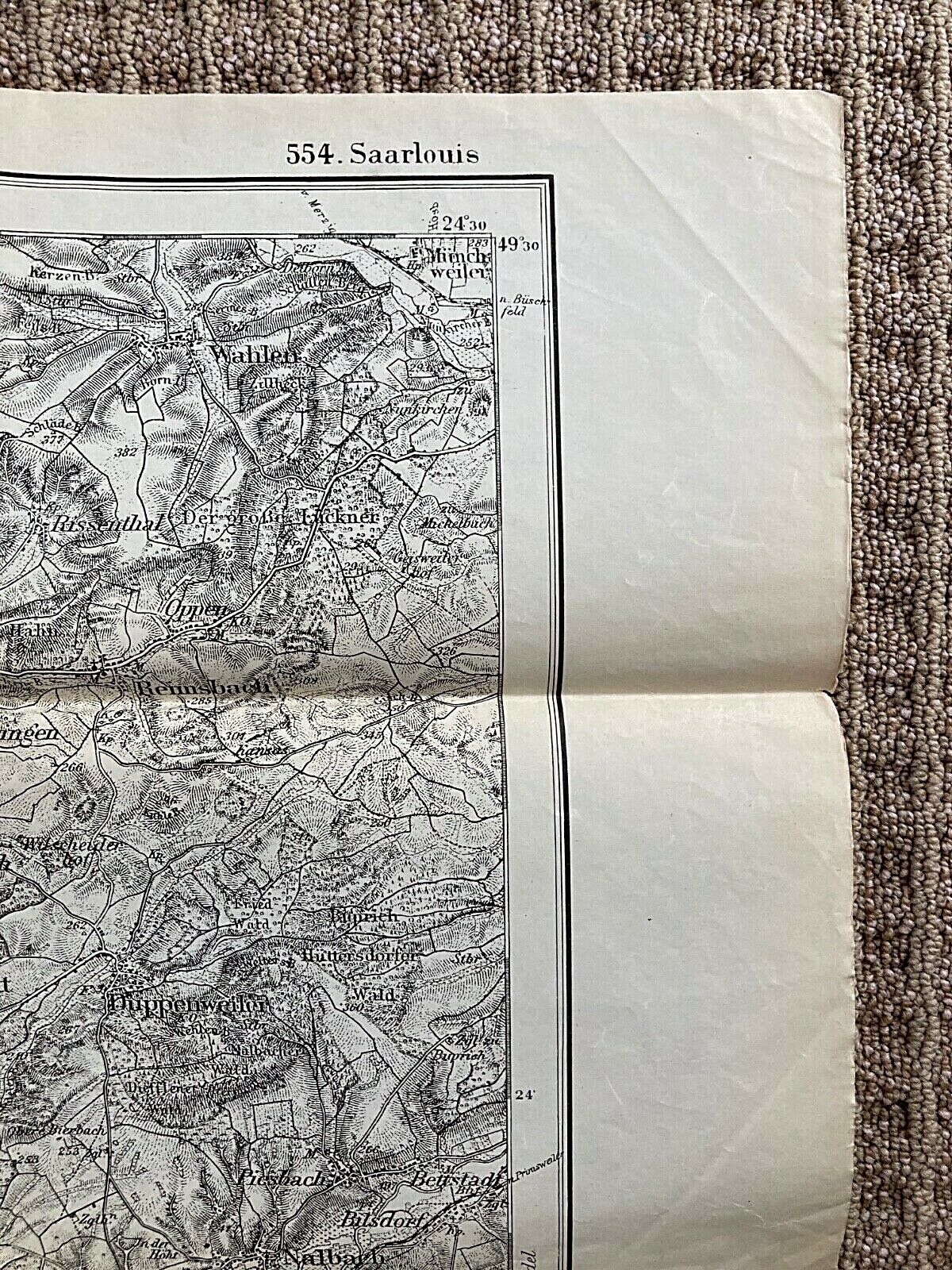
ORIGINAL - WW1 GERMAN c1915 MAP SAARLOUIS REGION of GERMANY (NEAR FRENCH BORDER)
$ 16.36
- Description
- Size Guide
Description
ORIGINAL - WW1 GERMAN c1915 MAP SAARLOUIS REGION of GERMANY (NEAR FRENCH BORDER)Relief type map.
Black ink.
Printed: 1915
.
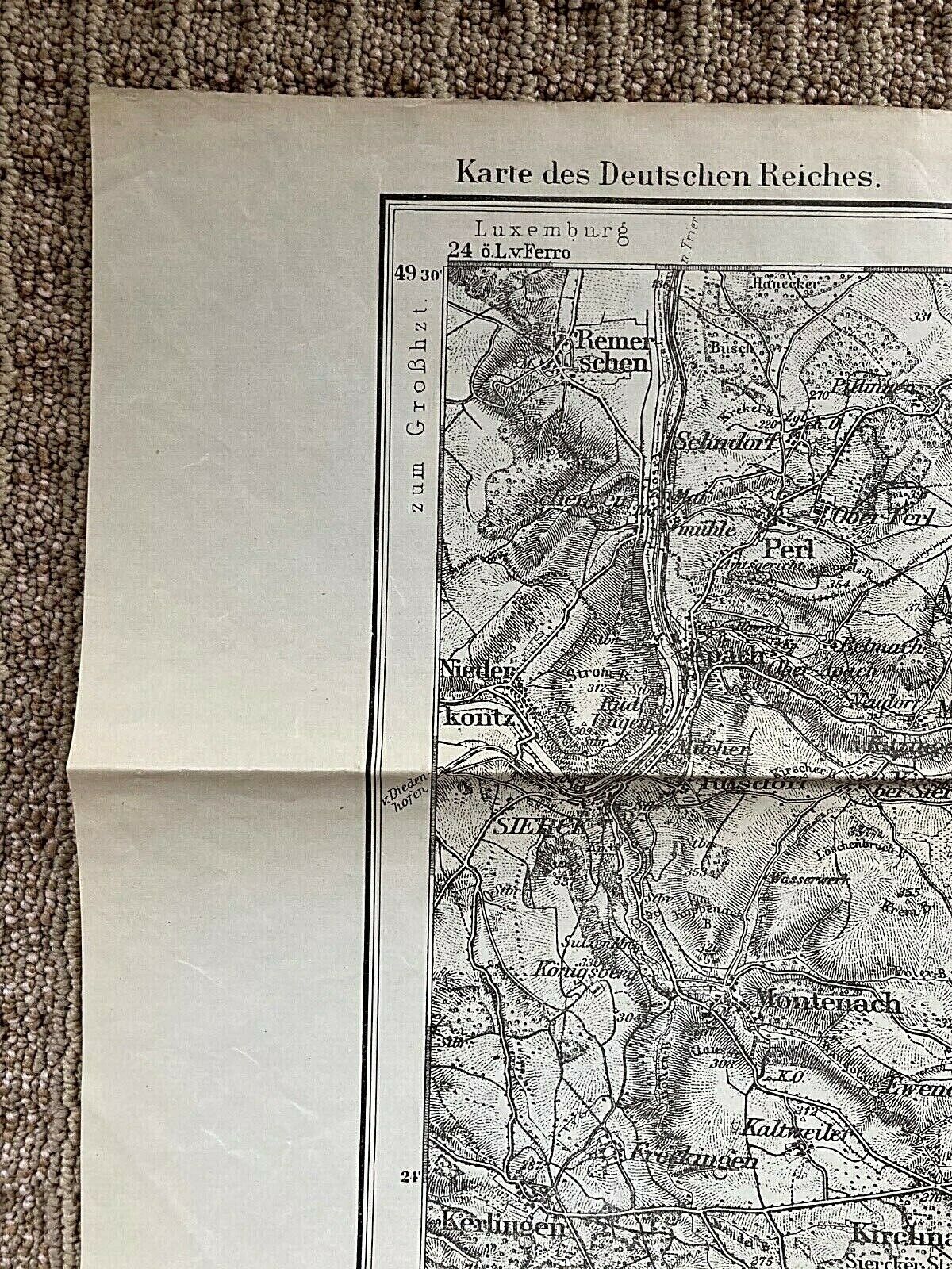
Printed on the edge: Karte des Deutschen Reichs.
(Translated to English: Printed on the edge:
Map of the German Empire)
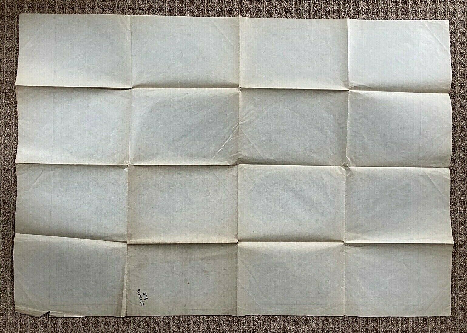
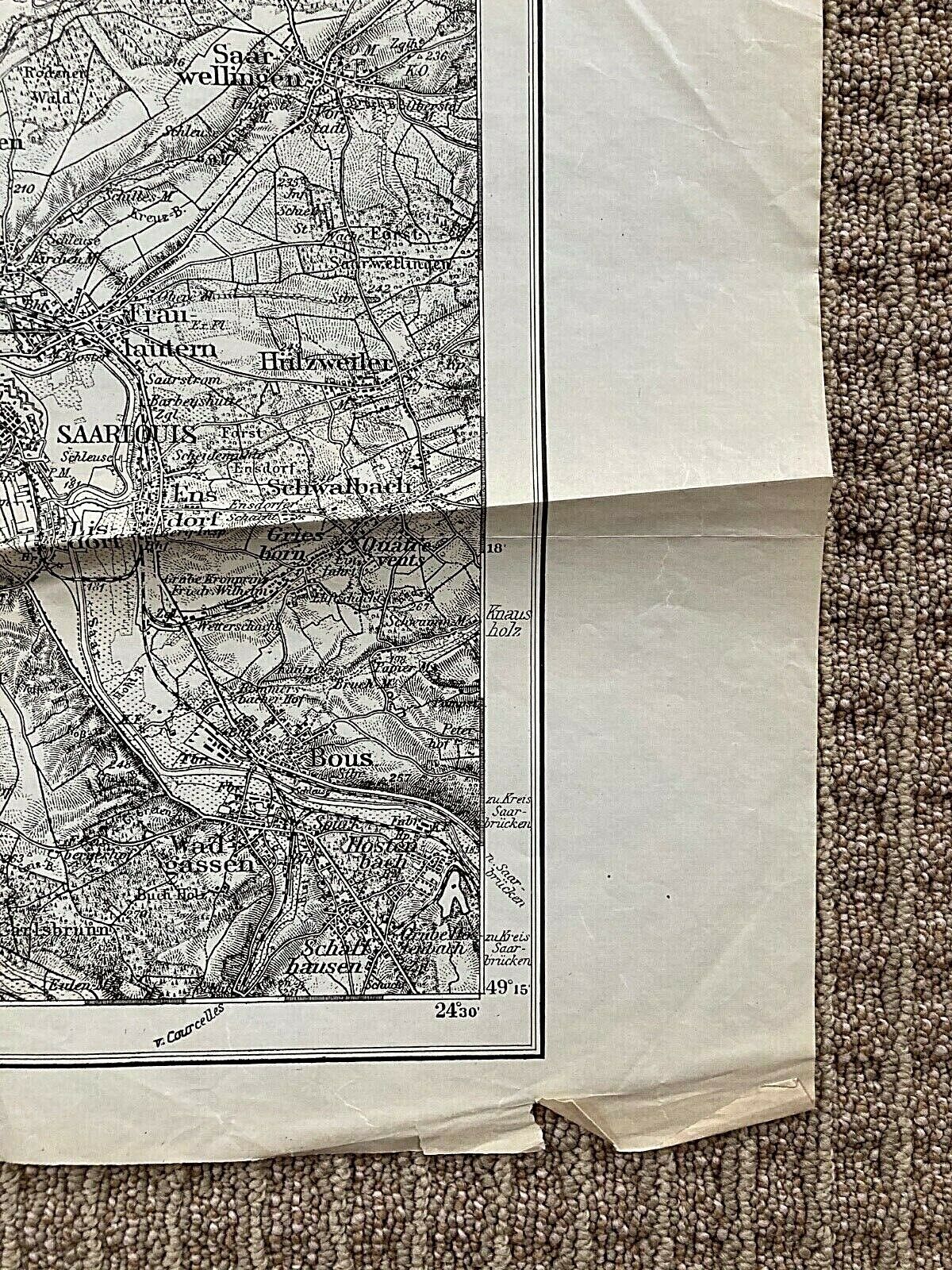
Fine condition with a very small edge chip and dog ear on the lower front right. Fold lines. Some light holes where folds intersect. Some very light handling.
(please see pictures)
Dimensions: 24 3/8" x 35 1/8"
PLEASE SEE MY 100% POSITIVE FEEDBACK AND BUY WITH CONFIDENCE.
